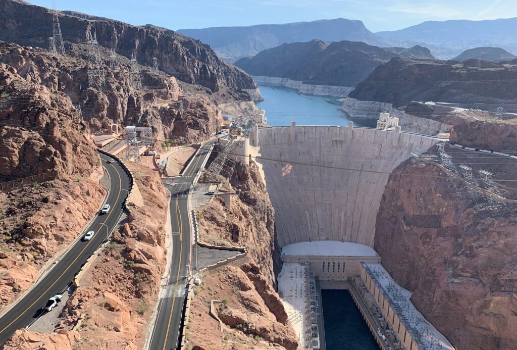
Are you interested in finding the best hidden running trails near Las Vegas? Plenty of little-known spots around the valley with minimal runners can give you a more relaxing experience. Many of these trails also offer beautiful views of outdoor sights such as Lake Mead.
1. Historic Railroad Trail
Location: Lake Mead
Length: 7.5 miles (roundtrip)
Difficulty: Easy (suitable for cyclists and dog walkers)
The Historic Railroad Trail takes you along an old railway line. This trail is unique because it’s the only part of the Hoover Dam Railroad system that is mostly intact and above water.
There are various tunnels along the route, meaning you get plenty of shade during your run. There’s also very little elevation change. Plus, you get the most amazing views of Lake Mead.
Check out the entire trail map here.
2. River Mountains Loop Trail
Location: Lake Mead, Henderson, and Boulder City
Length: 35 miles
Difficulty: Varies
The River Mountains Loop Trail is the longest paved trail in Nevada. While the length may seem daunting at first, this trail gives you one of the best outdoor backdrops around for your run.
You can take in the iconic river mountains and sandy surroundings as you spot some of the local wildlife. Desert tortoises often plod along the trail with runners and bicyclists.
The great thing about this trail is that you can choose your difficulty based on your distance training needs. It’s excellent for long or short runs, and with 35 miles of trail, you can get lots of different experiences based on where you start your journey.
You can begin your hike in Henderson, Boulder City, or somewhere in between. The trail curves around Lake Mead and loops the mountains. You can see the entire route here.
3. Sloan Canyon Trails
Location: Henderson
Length: Varies
Difficulty: Varies
Just south of Henderson, you’ll find the Sloan Canyon National Conservation Area. This 48,438-acre getaway forms the bulk of the mountain skyline south of Las Vegas. It’s home to gorgeous wildlife, scenery, and plenty of running trails.
There are too many trails to mention here, but between the Black Mountain Trail, the Petroglyph Trail, and so many others, there’s no wrong choice.
The length and difficulty of the trails vary depending on which one you choose. Most range from a couple of miles to almost ten miles in length.
You can find the conservation area’s hiking map here.
4. Pitman Wash Trail
Location: Green Valley
Length: 8.5 miles (roundtrip)
Difficulty: Easy (suitable for all skill levels)
The Pittman Wash Trail is a local favorite. The wash is also essential to the area in the event of storms to prevent flooding. The trail stretches from Pebble Rd to Arroyo Grande Blvd. It’s perfect for beginners or casual runners since it is paved and has no elevation gain.
You can walk the trail with ease, and there’s a chance you could see a few animals – such as bunnies – nearby. One thing to keep in mind is that this trail does not offer a lot of shade, so it’s great for a cooler run in the morning but can get hot later in the day. There are also no bathrooms along the trail, so you’ll want to plan accordingly.
You can view the entire trail map here.
You can find the conservation area’s hiking map here.
5. Clark County Wetlands Park
Location: East side of Las Vegas
Length: Varies
Difficulty: Varies
On the east side of Las Vegas, you’ll find the Clark County Wetlands Park, a popular place for tourists and locals alike. There are many trails within the park, so it’s easy to find a secluded spot if you go at the right time of day.
The Clark County Wetlands is famous for its diverse ecosystems. Over 70 species of mammals, reptiles, amphibians, and fish are in the park, making it a nature-lovers paradise.
The length and difficulty of your running trail will depend on which path you take. The park sits on 210 acres of land, so there are plenty of places to explore. You can download a trail map online from the Clark County Wetlands page.


